
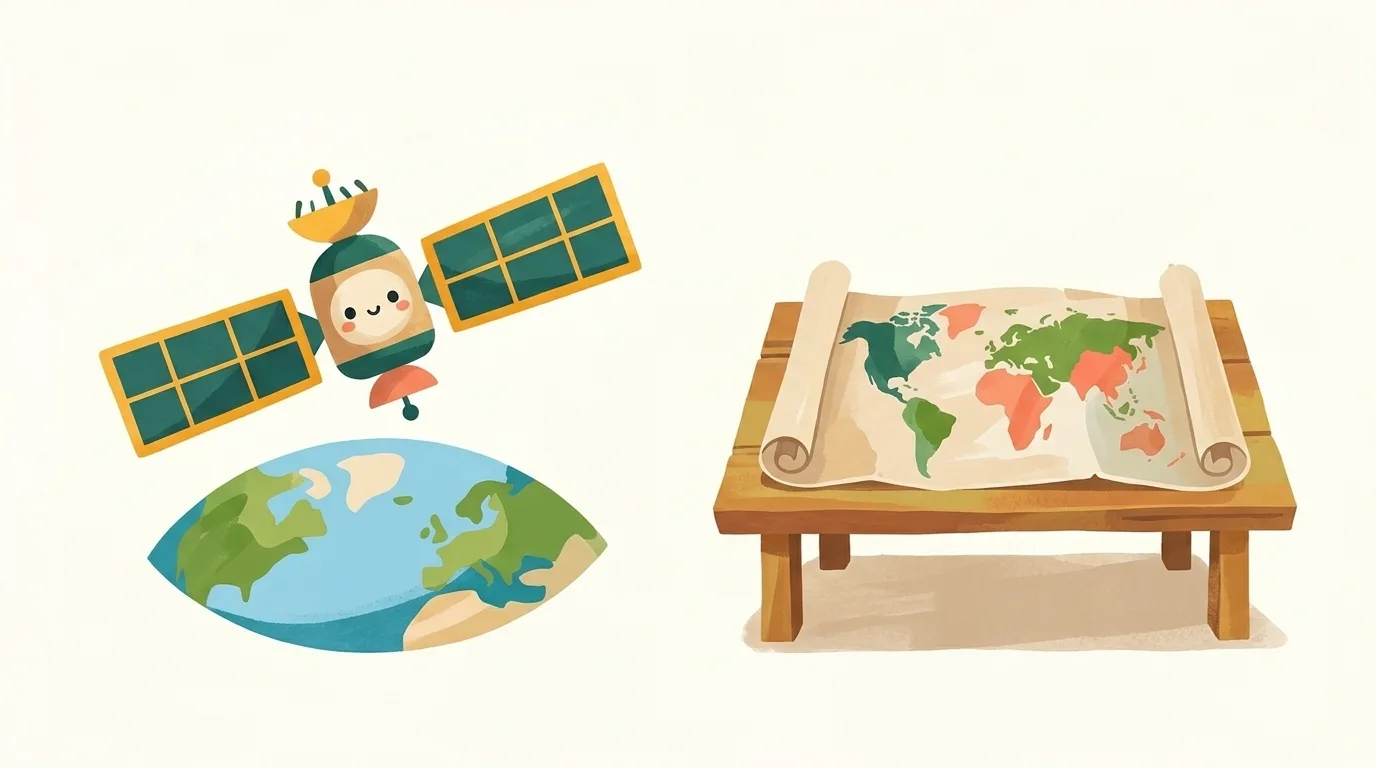
Illustration, made with AI
How do people make a map of the whole world?
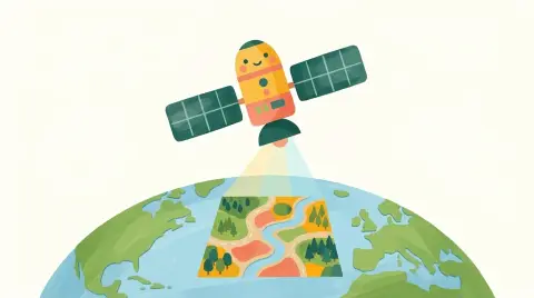
People measure the land, and satellites take pictures of Earth from space! Then mapmakers draw it all on a flat page.
The pictures show coastlines, roads and rivers, and GPS tells exactly where each thing is.
It's like a bird's-eye photo turned into a drawing!
Tell me more
Long ago, explorers drew maps from what they saw on their travels, and measured the land. New tools, like the magnetic compass and the telescope, helped make maps more exact. In the 20th century, people began taking photos from airplanes, and then from satellites high above Earth. Satellites and space telescopes now even help map other planets and moons! The hardest part of mapping our world is that Earth is round like a ball. Every flat map, called a projection, has to stretch some places to make the round world flat. No flat map is perfect!
Words to know
- satellitesmachines that circle around Earth high up in space
- GPSa system that uses satellites to tell where you are
- projectiona way of drawing the round Earth flat
Try it at home with a grown-up
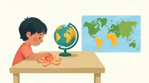
Draw a smiley face on an orange, then ask a grown-up to peel it and press the peel flat. See how the face stretches and tears? That's why flat maps can't be perfect.
 Dig deeper
 What else?

 Surprise me!