
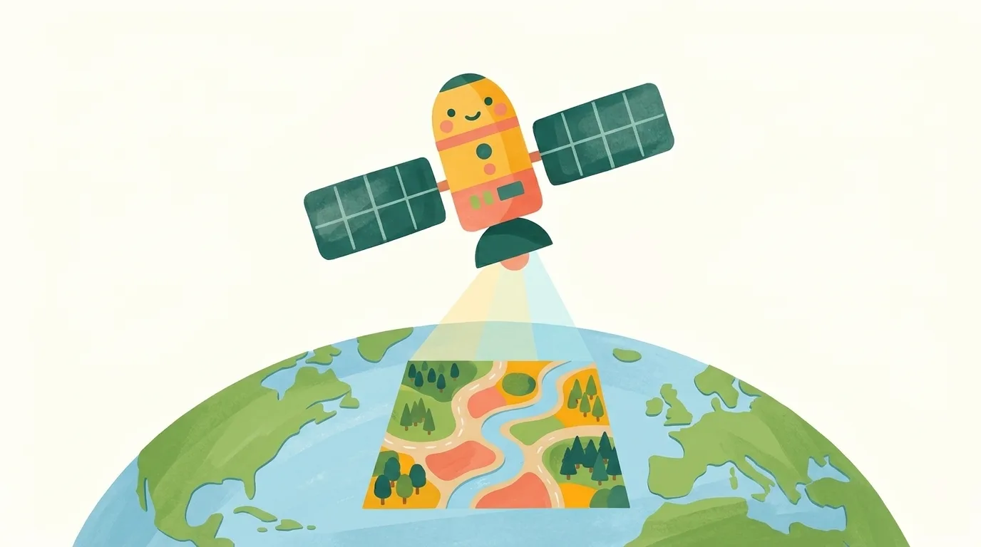
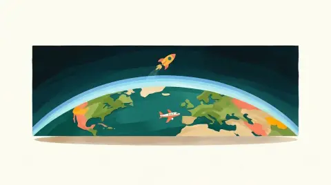
Illustration, made with AI
How do satellites help us draw maps?
Satellites take pictures of Earth from space! Mapmakers use them to see where roads, rivers and forests are.
The pictures are lined up exactly with other map information. Then computers lay roads and names on top.
It's like fitting puzzle pieces into one big picture.
Tell me more
The first satellite photo of Earth was taken in 1959, from about 27,000 kilometres up. Today's satellite pictures are made of tiny dots called pixels. In Landsat pictures, each pixel shows a patch of ground about 30 metres wide. Some satellites can make out details as small as 41 centimetres, smaller than a car. Some also see kinds of light our eyes can't, like infrared and ultraviolet. Scientists use them to track storms and map where animals live. Map apps, like Google Maps and Apple Maps, use satellite pictures too.
Words to know
- satellitesmachines that circle around Earth high up in space
- pixelsthe tiny dots that make up a digital picture
Try it at home
With a grown-up, open a map app and switch to the satellite view. Find your street or a park you know. That picture was taken from space!
 Dig deeper
 What else?
 Surprise me!