
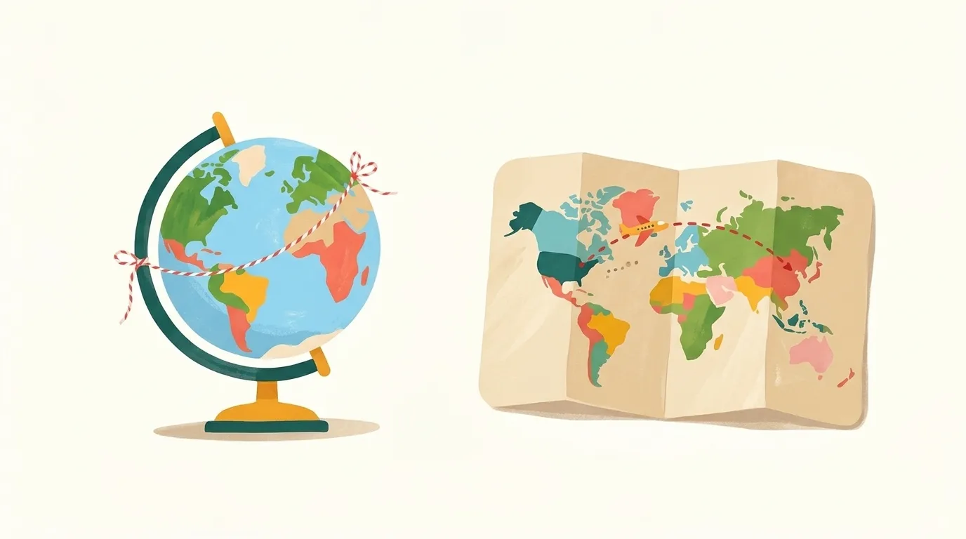
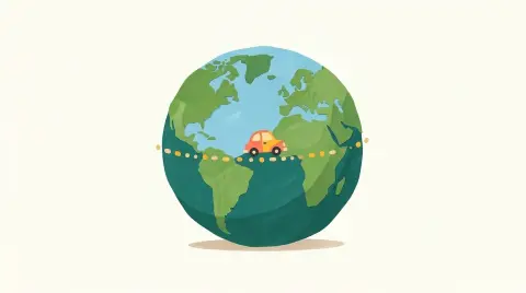
Illustration, made with AI
Why do long flights look curved on a map?
Because Earth is round! A plane's shortest path follows the curve of the ball.
Flat maps stretch the round Earth, most near the top and bottom. That makes the shortest path look bent.
A tight string between two cities on a globe shows it.
Tell me more
The shortest way between two places on a ball is called a great circle. Navigators once used a special map called a gnomonic chart, where any straight line is part of a great circle. When they copied that line onto an ordinary flat map, it turned into a curve. Following a great circle means your compass direction keeps slowly changing. So navigators split the path into short straight pieces, each with its own steady compass heading, like steps along the curve. Ships sail along great circles too, because the shortest way saves time and fuel.
Words to know
- great circlethe shortest path between two places on a ball
- navigatorspeople who plan and steer a ship's or plane's route
Try it at home
Take a globe or a ball and stretch a string tight between two far-apart places. Then look at where that string goes on a flat map.
 Dig deeper
 What else?

 Surprise me!