
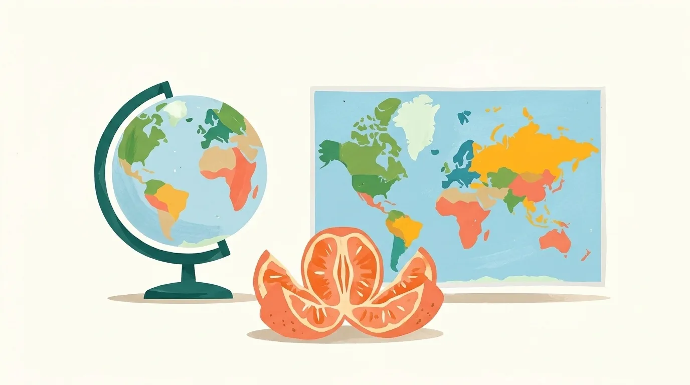
Illustration, made with AI
Why do flat maps make some places look too big?
Because a round Earth can't lie flat without stretching! Mapmakers must stretch it somewhere.
Many flat maps stretch places near the top and bottom the most. So lands far from the middle look too big.
Try pressing an orange peel flat: it tears and warps.
Tell me more
Every flat map bends the truth about the round Earth in some way, so mapmakers choose what to keep right. The famous Mercator map was made in 1569 for sailors. Picture wrapping a paper tube around a globe, copying the lands onto it, then unrolling it. That map keeps compass directions as straight lines, which made it great for steering ships. But it stretches lands more and more the farther they are from the equator. Greenland looks the same size as Africa, but Africa is really 14 times as big. Antarctica looks enormous.
Words to know
- equatorthe imaginary line around Earth's middle
- Mercatora famous flat map made long ago for sailors
Try it at home
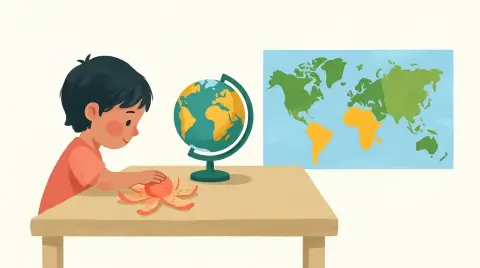
With a grown-up, draw a little face on an orange. Peel it and press the peel flat. See how the face splits and stretches?
 What else?
 Surprise me!